St Agnes was the island I was looking forward to visiting the most, as it's a place I perceived as the most desolate and remote of the inhabited Isles of Scilly islands, and it's the most southern part of the United Kingdom.
Yes, I wasn't wrong, but that doesn't mean that St Agnes is without any kind of civilisation.
I have also created a YouTube vlog about the island, link:-
I arrived on Porth Conger Quay, and this island has just the one quay, so I didn't have to make sure I knew where I was getting picked up (I am an organised creature and do like to pre-plan, negating the need for last minute panicking or rushing...)


The Turks Head is the only pub on the island, and is literally a minute's walk from the quay. St Agnes is commonly known as just "Agnes" to the locals, although it is sometimes affectionately referred to as "Aggy."

The Turks Head was opened in 1972, although a previous incarnation on the site dates back to 1939.
On this day I was flying solo, as the SuperDean didn't wanna come out and play...


I especially wanted to cross over to Gugh, which is reached by a tombolo; a kind of sandbar- a natural isthmus created by tidal deposits.


The tide was on its way out, having been high enough to cut Gugh off from St Agnes between 1-1½ hours earlier (depending on which tidal guide you were referring to...)


Standing on the sand, and at least I'd bothered to use my common sense and check the tide times- a group in front of me evidently hadn't, so I had to educate them as they seemed concerned that the tide was rising...


85 people live on St Agnes, which includes only 3 on Gugh. St Agnes is one of the smaller islands, and only about a mile wide. It's actually smaller than Bryher, but larger when you add Gugh to its mass.


The central stone of this stack has the name Gugh very prettily painted on it.


Looking back to St Agnes, and Gugh is only 0.62 mi (1 km) long by 0.31 mi (0.5km) wide.

Both houses were built in the 1920s by Charles Hamlet Cooper, an industrial engineer. They have Scandinavian style roofs, which apparently make them more likely to withstand any wild and exposed weather...


Looking north from the rough grass of Gugh...

This heap of rocks conceals a burial cairn, and this one is known as Carn Bite. Cairns (taken from the Gaelic "carn" meaning a human-made stack of stones raised for a purpose) sometimes have a burial cist at their centre. A burial cist is an ossuary; a small stone coffin used to hold the bodies of the dead.

Beautiful sunlit view south from the tombolo...

Back on St Agnes, and here's Covean Cottage Guesthouse and Café- they also operate as a takeaway pizzeria on some nights.
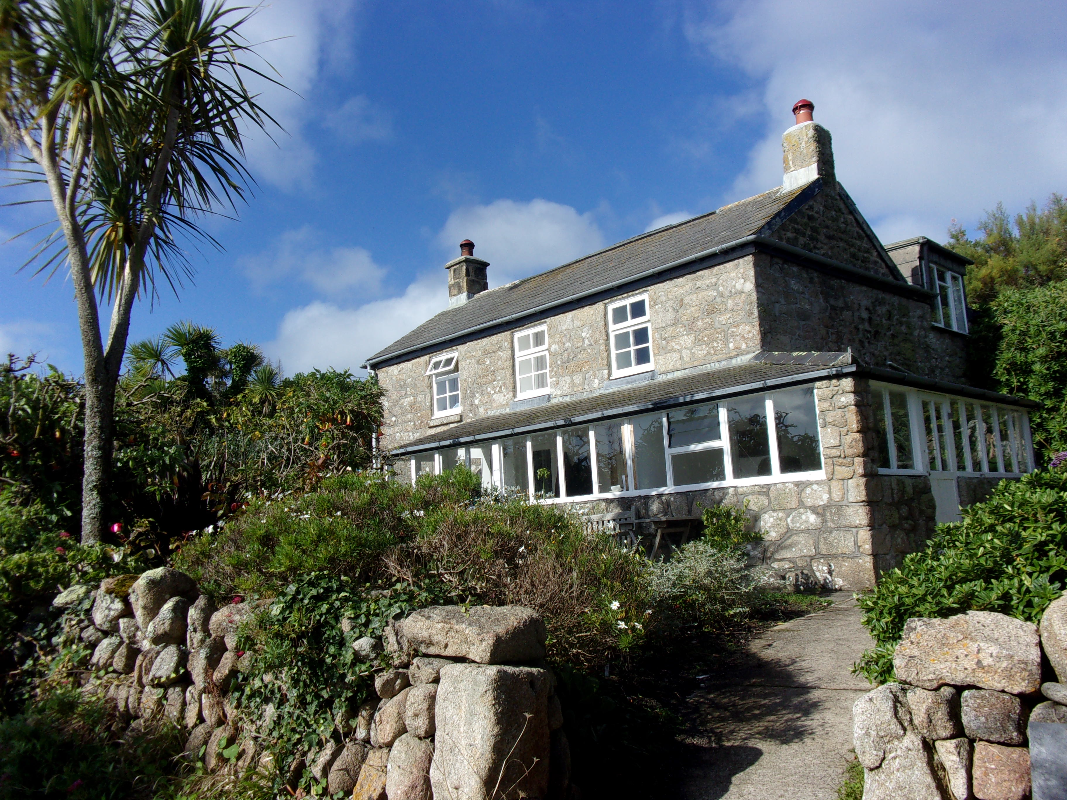
Palm trees, some lucky person's roof, and a beautiful blue sky. We only had one grotty day on the Isles of Scilly weatherwise, and this wasn't it!

I loved the decorative flip-flops outside one of the routes into Pot Buoys Gallery...

They sell art in the form of paintings, sculpture and jewellery...

Beautiful flora and fauna abound here, and these tropical red hot pokers are called Kniphofia Red Hot Popsicles.
😀

Cows having a lie down, and these must be part of Troy Town Farm, whose ice cream is sold all over the island. Everything is farmed on site- the cows graze here, are milked here and the resulting cream is used to make the ice creams.

A traditional phonebox and the first glimpse I got of St Agnes Lighthouse.
It might seem a strange place to have a lighthouse, as it's inland, but perhaps it's the island's highest point- it certainly looks it. It stands 22.5m (74 ft) above ground and 42m (138ft) above mean high water.

Built in 1680, the lighthouse is the oldest of the six Scilly lighthouses, and is no longer operational. It has the unusual feature of gun ports in the structure of the tower and the lantern part of the equation was fired firstly by coal and then by oil.

In 1880 the optical equipment was upgraded and consisted of fourteen reflective lamps arranged in two tiers, and the speed of rotation was doubled. But the lighthouse was always prone to fog- perhaps due to its inland location- and was decommissioned in 1911.

A stone snowman, stone reindeer, and what looks like a snow-woman add an interesting touch to this field!

The lighthouse now serves as a daymark for shipping and is privately owned living accommodation...
.JPG)
This is a farm I passed (name unknown). I just thought it looked colourful, and a fun place in which to hold a mini-festival!
You can rent apartments on some of the farms, and St Agnes is the only inhabited island without a hotel.

The side of that farm had attractive and geometric hand-drawn patterns on the window. I just thought it looked cheerful...
💜💛💚💙

Bishop Rock Lighthouse is visible over the water. It was completed in 1858 and is 49m (161ft) high. It is an impressive structure and is often referred to as "King of the lighthouses."
.JPG)
Troy Town Farm is the southernmost settlement on the United Kingdom.
This moggy is probably more interested in the cream used to make the ice creams, though...😁

If he's the farm pussycat, then he's the luckiest cat in the world!
😻

Taking a few minutes to enjoy the view, overlooking the campsite...

Plenty of little fauna friends came to join me at my table. I've since learnt that these abundant birds are called turnstones.

I walked around but the track was waterlogged, so I decided to walk back the way I'd come.
Annet can be viewed from here, is an uninhabited island and is known for housing several species of bird; including puffins and storm petrels...

There is Troy Town Maze- a small labyrinth reputed to be dating from 1729- in this area, but I elected not to travel "off piste" in the sandals I was wearing.
The strange inland formation on this photo includes a stone which resembles a chipped tooth...

This photo is a 2023 update, when we did seek out the maze- and found it a tad underwhelming!
It's reputed to have been laid down by either a lighthouse keeper or his son, but a much older maze was revealed in the 1980s, following excavations on the site. 

On the walk back the lighthouse and Christmas crew had been joined by a (real) two-tone monochrome horse.
💗

The isthmus had widened so I took another trek over to Gugh...

Stone stacking is actually quite difficult- you have to get the balance just right!

Looking over the water to the quay.
There is a Bronze Age (3,5000 years ago) sloping standing stone called The Old Man of Gugh further around this island, but my sandals- although thick soled- were good for slipping off and paddling in but possibly less good for rocky paths...

...So I decided to get my feet wet instead! Don't be fooled by the prettiness of the water- the currents can be vicious and I managed to step right into quicksand next to it, so I advise proceeding with caution.

The next three photos are also an addition to this blog, following my visit to the Isles of Scilly in 2023- this time I was wearing more suitable footwear!
The tide was at its lowest, and the tombolo was really wide.

We hiked further across the centre of Gugh as we were looking for The Old Man of Gugh- a Bronze Age menhir which dates from C15th-C5th BC. The day was windy and overcast, but you could still make out St Mary's over the water.


The Turks Head is the most south westerly pub in the British Isles, and I stopped to have a glass of cider and a bag of crisps before leaving...

The little friends came to visit me again, and one tried to peck on my painted toenail- he may have thought it was some kind of berry!

On the slipway, looking back over the pub...

Saying goodbye, and both St Agnes and Gugh have fringes of various kinds of rocky outcrops which look volcanic...

St Agnes, I will return. I have the Troy Town Maze to see, plus The Old Man of Gugh, so I'll grit my teeth and wear clumpy trainers next time (I can't say that they're my favourite kind of footwear.)
Until then...
TTFN
The Miss Elaineous
XXXXXXXXXXXXXXXXXXXXXXX
XXXXX
X


.JPG)
.JPG)


.JPG)

